Lebanon and Israel will resume next week arduous indirect negotiations on the demarcation of their land and water borders. The UN-sponsored and US-mediated talks are aimed at reaching an agreement over 2,290 square kilometers in their economic waters.
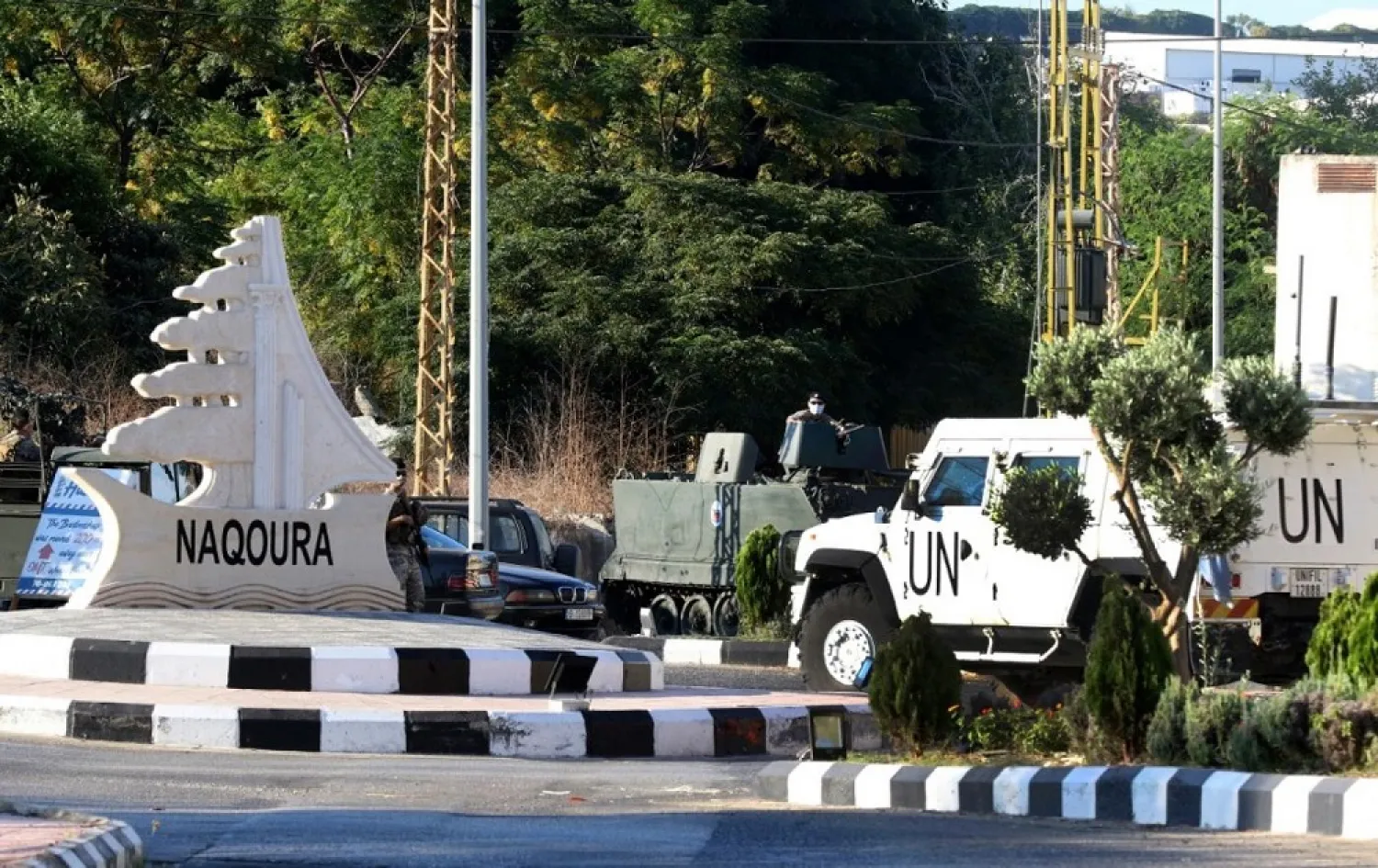
The first round of the talks was held outdoors on Wednesday under blue canvas covers near the two countries’ land border. The talks, the first to be held over the disputed sea boundary, broke up after barely an hour and both sides agreed to meet again in two weeks.
The meeting was described as “positive” and both sides expressed a desire to “speed up the negotiations process”, concerned Lebanese sources told Asharq Al-Awsat.
“Both sides showed good intentions towards speeding up the talks and concluded that they should not extend for a long time,” they added, while the details of the discussions were kept under wraps.
Wednesday’s meeting did not delve into the details of the demarcation. Those talks have been reserved for October 28 when the negotiations resume and maps will be laid out.
Asharq Al-Awsat obtained a copy of the maps. One map shows the Israeli “red line” that demarcates the border with Lebanon. Beirut says the line takes up large chunks of Lebanon’s economic waters.
Another map shows the Lebanese “blue line” that begins from marine point number 23 on the border and that reserves the country’s right of 860 square kms of the economic waters.
During pervious American mediation, US diplomat Frederick Hoff had proposed that Lebanon receive 58 percent of the disputed territory.
A third map shows the “green line” land border between Lebanon and Palestine that was drawn up in 1923. The border, which begins from the B1 point, was cemented during a truce agreement between Lebanon and Israel in 1949. It grants 2,290 square kms of disputed waters to Lebanon.
Lebanese military sources told Asharq Al-Awsat that the Lebanese maps that the negotiations team will present are based on the Law of the Sea. They stressed that Lebanon is committed to the green line that ends at point number 23 on the Lebanese shore.
The line grants Lebanon an additional 1,430 square kms and places half of Israel’s Karish offshore oil field in Lebanese waters.
Lebanon is kicking off its negotiations from this point, revealed the sources.
Point B1 begins from the coastal Ras Naqoura region on the Lebanese-Israeli border, said historian Dr. Issam Khalifeh.
This point was approved by the League of Nations in 1923, he told Asharq Al-Awsat.
“This international border stretches from the land to the sea. Israel at one point moved the position 30 meters inside Lebanese territories in order to alter the marine boundary,” he continued.
The Lebanese negotiations team has since corrected this error and is basing its talks on this land point because it is recognized internationally, said Khalifeh.
Israel, he stated, does not want the negotiations to begin on this point, but rather on Tikhrit island. The “island” is in fact a 40 by 7-meter rock, explained Khalifeh. International law defines an island as being inhabited, but this one is not and therefore cannot be the starting point for the indirect talks.


