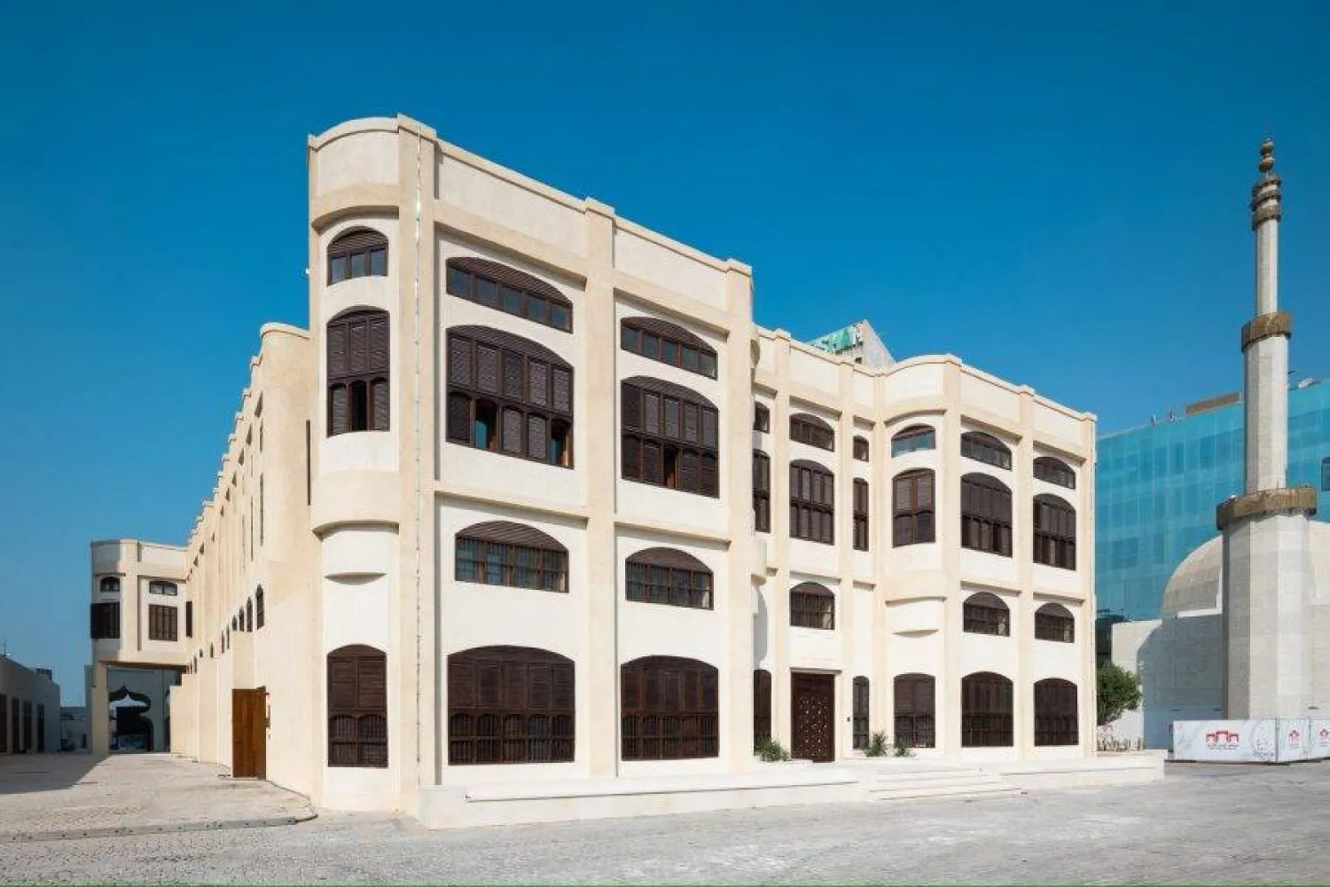
The General Authority for Survey and Geospatial Information (GASGI) released a collection of corrected historical aerial photographs showcasing various regions of Saudi Arabia during the period from 1950 to 1980, SPA said on Wednesday.
The photographs document the urban development, vegetation cover, and other transformations that took place in these areas. The project displays 164,484 images, providing a valuable record of the history of the locations.
Collaborating with various government agencies, GASGI undertook the task of processing the photographs, aligning them with the reference coordinate system, and organizing them according to the region, year of production, and scale.
The project’s objective is to utilize these corrected aerial images as historical references for analyzing the changes that occurred in both urban and rural areas over time. The project’s outputs are published on GASGI’s national geospatial platform, ensuring that the photographs are accompanied by legible digital coordinates.
GASGI is dedicated to the organization, enhancement, and oversight of the surveying, geospatial information, and imaging sector, with the aim of aligning it with international standards.
GASGI Displays Corrected Historical Photos of Saudi Arabia 1950-1980

The General Authority for Survey and Geospatial Information (GASGI) released a collection of corrected historical aerial photographs showcasing various regions of Saudi Arabia during the period from 1950 to 1980. (SPA)

GASGI Displays Corrected Historical Photos of Saudi Arabia 1950-1980

The General Authority for Survey and Geospatial Information (GASGI) released a collection of corrected historical aerial photographs showcasing various regions of Saudi Arabia during the period from 1950 to 1980. (SPA)
لم تشترك بعد
انشئ حساباً خاصاً بك لتحصل على أخبار مخصصة لك ولتتمتع بخاصية حفظ المقالات وتتلقى نشراتنا البريدية المتنوعة


