NASA has released a series of shocking satellite images that appear to reveal the devastating impact of climate change and how it is transforming our planet. Dubbed 'Images of Change', the series of photographs taken from space show changes from a combination of climate change, urbanization, flooding and fires, according to The Daily Mail.
This includes shrinking glaciers in New Zealand, snow in the Sahara Desert, melting ice in Canada, and travel reduction in Wuhan, China due to coronavirus restrictions.
Made up of more than 500 images, including before and after shots taken weeks to decades apart, the collection shows the reality of climate change on the Earth.
One set of photos appear to show Iceland's Ok Glacier completely melted away, wildfires scorching Argentina, and a monsoon flooding in Pakistan.
Half of the images are taken before an event happened - in some cases up to four decades ago - and half show the same location after a major incident.
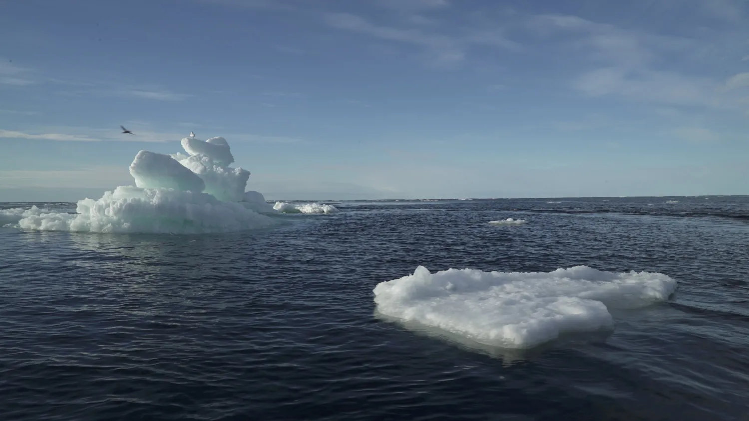
Images of Arctic sea ice captured in 1984 and 2020 show the noticeable change in the extent of the frozen region - showing just how much has melted in 36 years.
National Snow and Ice Data Centre (NSIDC) researchers say 2020 saw the second-lowest Arctic sea ice extent in the 42-year history of satellite records.
"The ice is shrinking in the summer, but it's also getting thinner. You're losing extent, and you're losing the thick ice as well. It's a double whammy," said director of the NSIDC Mark Serreze, when figures were released in September 2020.
The record low for Arctic sea ice was in 2012 - the lowest since satellite records began in 1979 - the 2013 minimum was larger, but continued the long-term downward trend of about 12 percent sea-ice loss per decade since the late 1970s.