


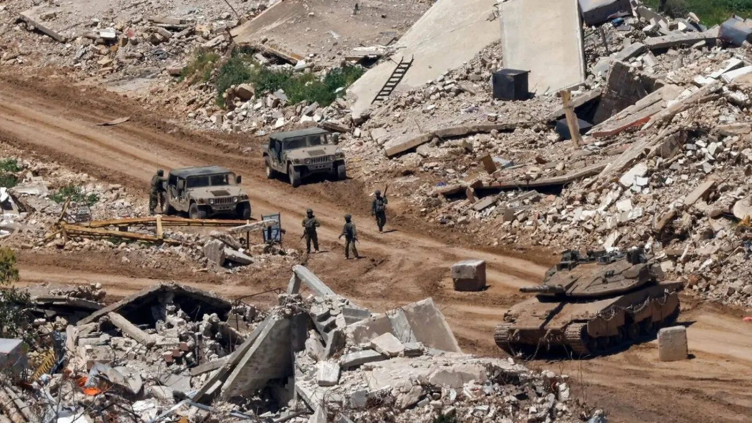

Israeli forces are blasting homes, farmland, roads and bridges across southern Lebanon, leaving villages stripped of familiar landmarks and raising fears that residents may never be able to return.
The destruction extends far beyond military positions and hilltops, according to scientific data and a study of war damage. A military expert says the pattern points to an Israeli effort to reshape the region's population and landscape.
Officials at Lebanon's National Council for Scientific Research told Asharq Al-Awsat that 2,057 Israeli explosions were recorded between April 17 and Oct. 29, reflecting the scale of Israeli military operations. No published breakdown of their geographic distribution or counting methodology was available.
An earlier scientific report published by the council documented 1,731 mining and demolition operations in southern Lebanon between March 2 and September 10, including 1,128 after the June 26 “framework agreement”.
The daily average surged from 5.15 operations before the agreement to about 15 afterward.
Homes and bridges in ruins
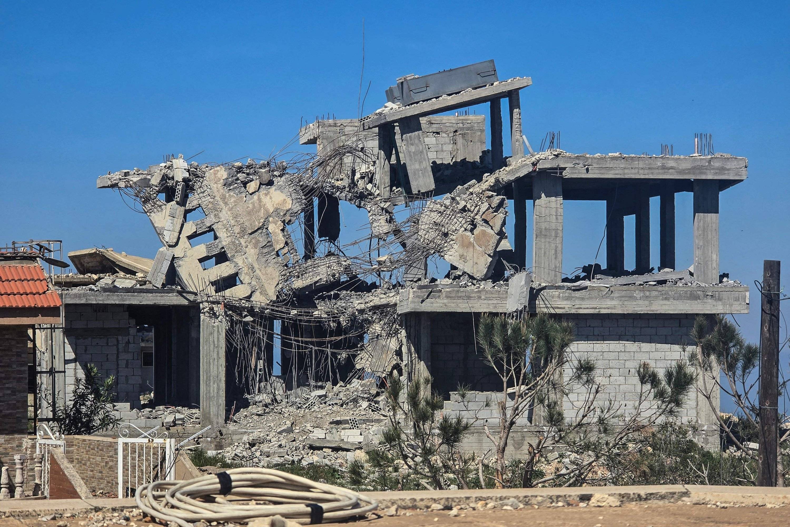
More than 90,000 homes across Lebanon had been damaged or destroyed by mid-June, according to preliminary estimates cited in a study by Information International. The figure was not limited to southern Lebanon.
The study documented seven bridges completely destroyed and partial damage to the Qasmieh Bridge, among eight bridges targeted along routes linking the area south of the Litani River to surrounding areas.
Citing the International Organization for Migration, the study said 499,784 people remained internally displaced as of July 1, highlighting the struggle to restore stability even as returns began.
The National Council for Scientific Research also documented a massive blast in Majdal Zoun on June 28 and ground waves triggered by an explosion in Shaqif overnight on July 30-31, equivalent to a magnitude 3.8 earthquake, according to the National Center for Geophysics.
A separate explosion in Ali al-Taher on September 10 coincided with a magnitude 4.1 seismic event recorded by the US Geological Survey.
The Shaqif blast raised concerns over the historic Beaufort castle, which has temporary enhanced protection and is listed among the "Castles of Jabal Amel" on the World Heritage List.
'Eliminating the foundations of life'
Retired Staff Brigadier General Khalil al-Gemayel described the destruction as a systematic scorched-earth policy designed to wipe out residential communities, deprive them of the basic necessities of life and prevent residents from returning.
He said the operations were paving the way for a prolonged Israeli presence in areas under its control.
The council's tally of 2,057 explosions since April was consistent with the scale of Israeli operations on the ground, Gemayel said, pointing to almost daily blasts targeting not only military positions and hilltops but also homes, neighborhoods, buildings and infrastructure.
The destruction was particularly concentrated around major population centers such as Bint Jbeil, Khiam and Aita al-Shaab, as well as villages including Zawtar al-Sharqiyeh, he said.
Gemayel said the pattern closely followed Israeli troop deployments, with built-up areas and population centers facing Israeli positions bearing the brunt of the demolitions.
The operations went beyond immediate military objectives and were intended to bring about sweeping demographic and environmental changes, he added.
"Destroying homes, infrastructure, vegetation and farmland effectively eliminates the foundations of life, rather than merely preventing military use of these areas," he said.
Gemayel compared the operations to Israel's actions in Syria's Golan Heights after its occupation in 1967, when villages were demolished and cleared.
He said the same approach was now being repeated in southern Lebanon, with the landscape altered and the traces of residential communities erased.
Even a political settlement and Israeli withdrawal would not guarantee a swift return of the displaced, he warned.
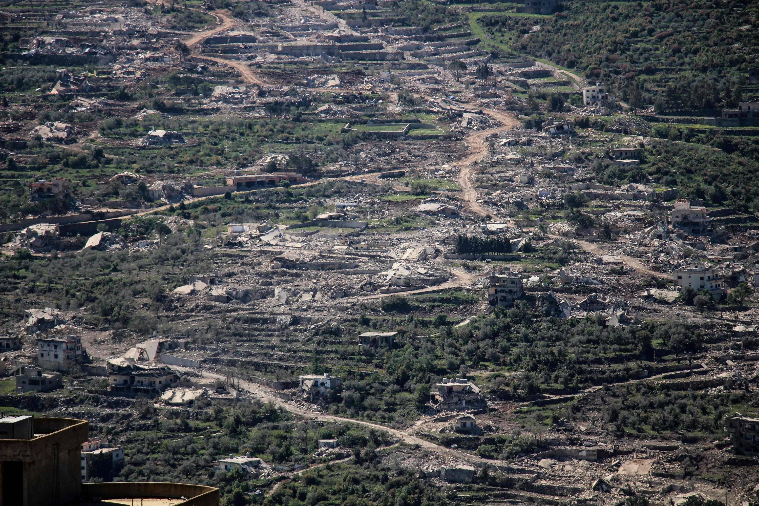
Rebuilding communities could take years, perhaps decades, with some residents potentially unable even to locate their former homes after entire streets, buildings and village landmarks disappeared.
Imposing a new reality
Gemayel said the demolitions were concentrated in several areas along built-up stretches extending roughly 1,000 meters in front of Israeli positions, targeting buildings and residential communities facing deployed troops.
He identified Majdal Zoun and Mansouri, along with areas around Srebbine, Yater, Beit Yahoun, Hadatha, Baraachit and Aita al-Jabal, as examples.
He said Israeli aerial surveillance and other technological capabilities often allowed its forces to distinguish civilian from military movements, but that had not stopped the destruction from spreading.
Gemayel said the ultimate aim was to prevent residents from returning to areas occupied by Israeli forces or facing their positions by destroying villages and residential communities capable of sustaining everyday life.
The scale and pattern of destruction suggested Israel intended to maintain a long-term presence while imposing a new geographic and demographic reality that could prove difficult to reverse even after military operations ended, he said.


