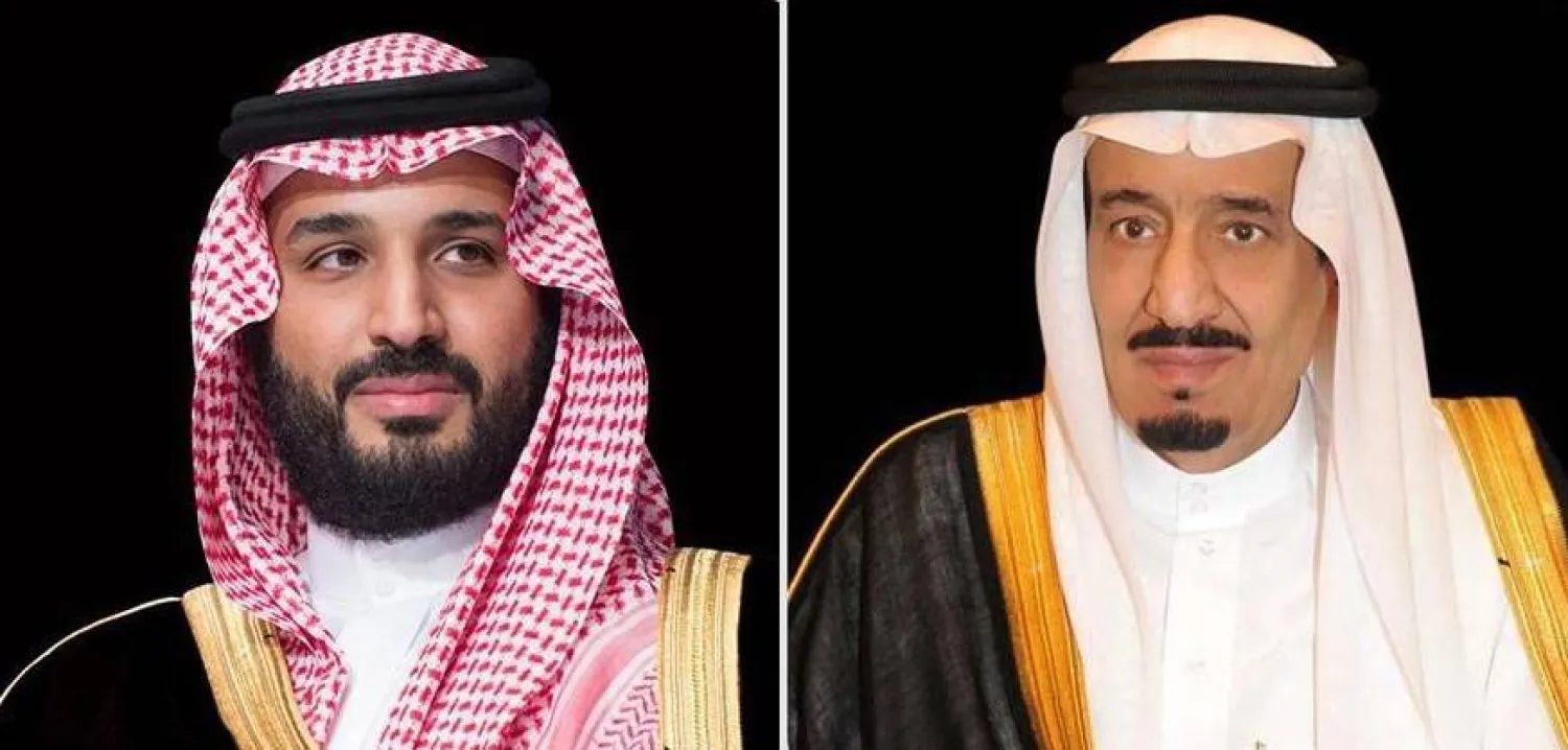
King Salman Orders Emergency Relief to Be Sent to Malaysia to Fight Pandemic

Custodian of the Two Holy Mosques King Salman bin Abdulaziz. (SPA)
TT
20

King Salman Orders Emergency Relief to Be Sent to Malaysia to Fight Pandemic

Custodian of the Two Holy Mosques King Salman bin Abdulaziz. (SPA)

Custodian of the Two Holy Mosques King Salman bin Abdulaziz ordered on Sunday that emergency relief aid be dispatched to Malaysia to help it grapple with the coronavirus pandemic.

The aid will be sent through the King Salman Humanitarian Aid and Relief Center (KSRelief) and at the recommendation of Crown Prince Mohammed bin Salman, Deputy Prime Minister and Minister of Defense.

The Crown Prince had received an appeal for aid during a telephone call from Malaysia’s Foreign Minister Hishammuddin Hussein.

General Supervisor of KSRelief Dr. Abdullah bin Abdulaziz Al-Rabiah said King Salman’s gesture stems from the Kingdom’s humanitarian role towards countries that have been hit hard by the pandemic and is a reflection of the strong ties that bind Saudi Arabia and Malaysia.

The aid will include a million vaccine shots, as well as medical equipment and other supplies.


Saudi Arabia Ranks 1st Regionally, 9th Globally and 6th in G20 in Geospatial Field

A view of Riyadh, Saudi Arabia on Nov. 15, 2024. (Reuters)
TT
20

Saudi Arabia Ranks 1st Regionally, 9th Globally and 6th in G20 in Geospatial Field

A view of Riyadh, Saudi Arabia on Nov. 15, 2024. (Reuters)

Saudi Arabia, represented by the General Authority for Survey and Geospatial Information (GEOSA), has significantly advanced its geospatial knowledge infrastructure readiness by moving from the 32nd place in 2022 to ninth in the 2025 Geospatial Knowledge Infrastructure (GKI) Readiness Index. It ranked first in the Middle East and Arab world, and 6th among G20 nations.

The announcement was made during the first day of the Geospatial World Forum 2025, held in Madrid from April 22 to 25.

The GKI Readiness Index, developed by Geospatial World, is a strategic framework supported by the United Nations Statistics Division that aims to compare the readiness of countries in adopting geospatial knowledge and how their progress on the index promotes economic growth, sustainable development and digital transformation, said a GEOSA statement.

The GKI Readiness Index was built on several axes. The Kingdom ranked sixth globally in the policy axis through its pioneering experience in the governance of the national geospatial data system and the preparation of its policies, standards and specifications in accordance with international best practices.

It ranked seventh globally in the infrastructure axis for its pivotal role in unifying national efforts related to geospatial information, including building the national geospatial platform that represents the window of the national geospatial infrastructure available to benefit the public and private sectors, in addition to the academia, the non-profit sector, and individuals.

The Kingdom ranked eighth in the geospatial industry axis, which highlights its constructive role in building strategic partnerships in all sectors.

The Kingdom's progress in this index reflects the unlimited support given to the survey and geospatial information sector by the wise Saudi leadership and the minister of defense and chairman of GEOSA Board of Directors.

This support has led to the Kingdom assuming a leading position at the regional and global levels in the forefront of its peers among developed countries in the geospatial field. This progress also led to Riyadh being chosen as the headquarters for the United Nations Global Geospatial Ecosystem Center of Excellence, positioning the Kingdom as a global leader in innovative geospatial information management.

‏The GEOSA works, according to its mandate, to organize the survey, geospatial information and imaging sector in the Kingdom, including the adoption and development of the national geospatial infrastructure, and the establishment of basic and guiding standards and controls related to the sector to achieve the integrated use of the geospatial information system among all the stakeholders.