'Dinosaur Highway' Tracks Dating Back 166 Million Years are Discovered in England

In this undated photo provided by the University of Birmingham on Thursday, Jan. 2, 2025, work underway as five extensive trackways that formed part of a "dinosaur highway" are uncovered, at Dewars Farm Quarry in Oxfordshire, England. (University of Birmingham via AP)
TT

'Dinosaur Highway' Tracks Dating Back 166 Million Years are Discovered in England

In this undated photo provided by the University of Birmingham on Thursday, Jan. 2, 2025, work underway as five extensive trackways that formed part of a "dinosaur highway" are uncovered, at Dewars Farm Quarry in Oxfordshire, England. (University of Birmingham via AP)

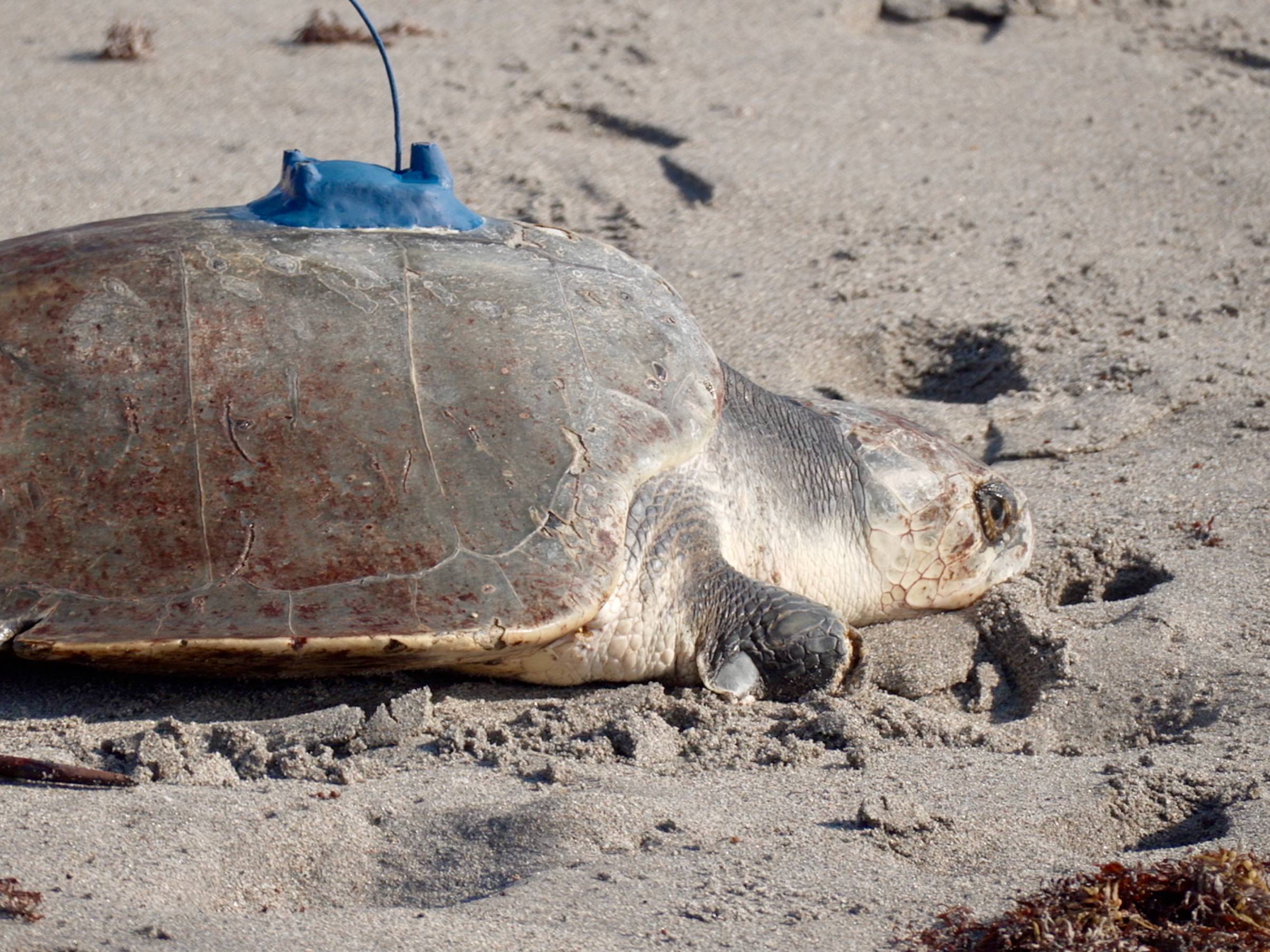
A worker digging up clay in a southern England limestone quarry noticed unusual bumps that led to the discovery of a “dinosaur highway” and nearly 200 tracks that date back 166 million years, researchers said Thursday.

The extraordinary find made after a team of more than 100 people excavated the Dewars Farm Quarry, in Oxfordshire, in June expands upon previous paleontology work in the area and offers greater insights into the Middle Jurassic period, researchers at the universities of Oxford and Birmingham said.

“These footprints offer an extraordinary window into the lives of dinosaurs, revealing details about their movements, interactions, and the tropical environment they inhabited,” said Kirsty Edgar, a micropaleontology professor at the University of Birmingham, The AP reported.

Four of the sets of tracks that make up the so-called highway show paths taken by gigantic, long-necked, herbivores called sauropods, thought to be Cetiosaurus, a dinosaur that grew to nearly 60 feet (18 meters) in length. A fifth set belonged to the Megalosaurus, a ferocious 9-meter predator that left a distinctive triple-claw print and was the first dinosaur to be scientifically named two centuries ago.

An area where the tracks cross raises questions about possible interactions between the carnivores and herbivores.

“Scientists have known about and been studying Megalosaurus for longer than any other dinosaur on Earth, and yet these recent discoveries prove there is still new evidence of these animals out there, waiting to be found," said Emma Nicholls, a vertebrate paleontologist at the Oxford University Museum of Natural History.

Nearly 30 years ago, 40 sets of footprints discovered in a limestone quarry in the area were considered one of the world's most scientifically important dinosaur track sites. But that area is mostly inaccessible now and there's limited photographic evidence because it predated the use of digital cameras and drones to record the findings.

The group that worked at the site this summer took more than 20,000 digital images and used drones to create 3-D models of the prints. The trove of documentation will aid future studies and could shed light on the size of the dinosaurs, how they walked and the speed at which they moved.

“The preservation is so detailed that we can see how the mud was deformed as the dinosaur’s feet squelched in and out," said Duncan Murdock, an earth scientist at the Oxford museum. "Along with other fossils like burrows, shells and plants we can bring to life the muddy lagoon environment the dinosaurs walked through.”

The findings will be shown at a new exhibit at the museum and also broadcast on the BBC's “Digging for Britain” program next week.


Olives, Opera and a Climate-Neutral Goal: How a Mural in Greece Won ‘Best in the World’ 

A building with the mural entitled “Kalamata” depicting opera legend Maria Callas by artist Kleomenis Kostopoulos is seen in Kalamata town, about 240 kilometers (150 miles) southwest of Athens, Monday, Feb. 9, 2026. (AP) 
TT

Olives, Opera and a Climate-Neutral Goal: How a Mural in Greece Won ‘Best in the World’ 

A building with the mural entitled “Kalamata” depicting opera legend Maria Callas by artist Kleomenis Kostopoulos is seen in Kalamata town, about 240 kilometers (150 miles) southwest of Athens, Monday, Feb. 9, 2026. (AP) 

Long known for its olives and seaside charm, the southern Greek city of Kalamata has found itself in the spotlight thanks to a towering mural that reimagines legendary soprano Maria Callas as an allegory for the city itself.

The massive artwork on the side of a prominent building in the city center has been named 2025’s “Best Mural of the World” by Street Art Cities, a global platform celebrating street art.

Residents of Kalamata, approximately 240 kilometers (150 miles) southwest of Athens, cultivate the world-renowned olives, figs and grapes that feature prominently on the mural.

That was precisely the point.

Vassilis Papaefstathiou, deputy mayor of strategic planning and climate neutrality, explained Kalamata is one of the few Greek cities with the ambitious goal of becoming climate-neutral by 2030. He and other city leaders wanted a way to make abstract concepts, including sustainable development, agri-food initiatives, and local economic growth, more tangible for the city’s nearly 73,000 residents.

That’s how the idea of a massive mural in a public space was born.

“We wanted it to reflect a very clear and distinct message of what sustainable development means for a regional city such as Kalamata,” Papaefstathiou said. “We wanted to create an image that combines the humble products of the land, such as olives and olive oil — which, let’s be honest, are famous all over the world and have put Kalamata on the map — with the high-level art.”

“By bringing together what is very elevated with ... the humbleness of the land, our aim was to empower the people and, in doing so, strengthen their identity. We want them to be proud to be Kalamatians.”

Southern Greece has faced heatwaves, droughts and wildfires in recent years, all of which affect the olive groves on which the region’s economy is hugely dependent.

The image chosen to represent the city was Maria Callas, widely hailed as one of the greatest opera singers of the 20th century and revered in Greece as a national cultural symbol. She may have been born in New York to Greek immigrant parents, but her father came from a village south of Kalamata. For locals, she is one of their own.

This connection is also reflected in practice: the alumni association at Kalamata’s music school is named for Callas, and the cultural center houses an exhibition dedicated to her, which includes letters from her personal archive.

Artist Kleomenis Kostopoulos, 52, said the mural “is not actually called ‘Maria Callas,’ but ‘Kalamata’ and my attempt was to paint Kalamata (the city) allegorically.”

Rather than portraying a stylized image of the diva, Kostopoulos said he aimed for a more grounded and human depiction. He incorporated elements that connect the people to their land: tree branches — which he considers the above-ground extension of roots — birds native to the area, and the well-known agricultural products.

“The dress I create on Maria Callas in ‘Kalamata’ is essentially all of this, all of this bloom, all of this fruition,” he said. “The blessed land that Kalamata itself has ... is where all of these elements of nature come from.”

Creating the mural was no small feat. Kostopoulos said it took around two weeks of actual work spread over a month due to bad weather. He primarily used brushes but also incorporated spray paint and a cherry-picker to reach all edges of the massive wall.

Papaefstathiou, the deputy mayor, said the mural has become a focal point.

“We believe this mural has helped us significantly in many ways, including in strengthening the city’s promotion as a tourist destination,” he said.

Beyond tourism, the mural has sparked conversations about art in public spaces. More building owners in Kalamata have already expressed interest in hosting murals.

“All of us — residents, and I personally — feel immense pride,” said tourism educator Dimitra Kourmouli.

Kostopoulos said he hopes the award will have a wider impact on the art community and make public art more visible in Greece.

“We see that such modern interventions in public space bring tremendous cultural, social, educational and economic benefits to a place,” he said. “These are good springboards to start nice conversations that I hope someday will happen in our country, as well.”


Nine Skiers Missing, Six Rescued after California Avalanche

FILE PHOTO: The snow-covered Sierra Nevada Mountains are seen from the air during a Pacific Gas and Electric snowpack survey near Nevada City, California, US April 3, 2017.  REUTERS/Bob Strong/File Photo
FILE PHOTO: The snow-covered Sierra Nevada Mountains are seen from the air during a Pacific Gas and Electric snowpack survey near Nevada City, California, US April 3, 2017. REUTERS/Bob Strong/File Photo
TT

Nine Skiers Missing, Six Rescued after California Avalanche

FILE PHOTO: The snow-covered Sierra Nevada Mountains are seen from the air during a Pacific Gas and Electric snowpack survey near Nevada City, California, US April 3, 2017.  REUTERS/Bob Strong/File Photo
FILE PHOTO: The snow-covered Sierra Nevada Mountains are seen from the air during a Pacific Gas and Electric snowpack survey near Nevada City, California, US April 3, 2017. REUTERS/Bob Strong/File Photo

Nine skiers were missing after an avalanche in California's Sierra Nevada mountains on Tuesday, but six others, who had been stranded, have since been rescued, authorities said.

The avalanche swept the Castle Peak area of Truckee, California, about 10 miles north of Lake Tahoe, at about 11:30 a.m. Pacific time, engulfing a group of skiers, according to a Facebook statement posted by the Nevada County Sheriff's Office.

Those rescued have varying injuries and two were ‌sent to a hospital ‌for treatment.

The sheriff's office revised the number of ‌people ⁠in the group to ⁠15 from an earlier estimate of 16, adding that no further updates were expected on Tuesday evening.

If all nine of the missing skiers should perish, the incident would rank among the deadliest single avalanches on record in the United States. The Colorado Avalanche Information Center has tallied six US avalanche fatalities so far this season.

Avalanches have claimed an average of 27 lives ⁠each winter in the United States over the past ‌decade, the center reported.

A winter storm warning ‌was in effect for much of northern California on Tuesday, with heavy snow ‌forecast in the upper elevations of the Sierra Nevada.

The Sierra Avalanche Center ‌had posted an alert before dawn on Tuesday, warning of a "high avalanche danger" in the ski region, the sheriff's statement said.

"I don't think it was a wise choice," Greene said of the decision of a ski tour company to take paying ‌customers out into the backcountry under such conditions, adding, "but we don't know all the details yet." He declined to ⁠name the company involved.

Rescue ⁠ski teams were dispatched to the avalanche zone from the Boreal Mountain Ski Resort and Tahoe Donner's Alder Creek Adventure Center.

The survivors had taken refuge in a makeshift shelter, constructed partly from tarpaulin sheets and communicated with rescuers via radio beacon and text messaging.

Greene declined to say how many of the ski guides and how many of their customers were among the missing.

Weather conditions remained hazardous in the Sierra backcountry slopes, with additional avalanche activity expected through Tuesday night and into Wednesday, according to the sheriff's statement.

California Governor Gavin Newsom was briefed on the avalanche, and state authorities were "coordinating an all-hands search-and-rescue effort" in conjunction with local emergency teams, his office said in a posting on X.


Surprise Shark Caught on Camera for 1st Time in Antarctica’s Near-freezing Deep

In this image made from video and released by the University of Western Australia, a sleeper shark swims into the spotlight of a video camera in Antarctica in January 2025. (Minderoo-UWA Deep-Sea Research Centre, Inkfish, Kelpie Geoscience via AP)
TT

Surprise Shark Caught on Camera for 1st Time in Antarctica’s Near-freezing Deep

In this image made from video and released by the University of Western Australia, a sleeper shark swims into the spotlight of a video camera in Antarctica in January 2025. (Minderoo-UWA Deep-Sea Research Centre, Inkfish, Kelpie Geoscience via AP)

An ungainly barrel of a shark cruising languidly over a barren seabed far too deep for the sun’s rays to illuminate was an unexpected sight.

Many experts had thought sharks didn’t exist in the frigid waters of Antarctica before this sleeper shark lumbered warily and briefly into the spotlight of a video camera, researcher Alan Jamieson said this week. The shark, filmed in January 2025, was a substantial specimen with an estimated length of between 3 and 4 meters (10 and 13 feet).

“We went down there not expecting to see sharks because there’s a general rule of thumb that you don’t get sharks in Antarctica,” Jamieson said.

“And it’s not even a little one either. It’s a hunk of a shark. These things are tanks,” he added.

The camera operated by the Minderoo-UWA Deep-Sea Research Centre, which investigates life in the deepest parts of the world’s oceans, was positioned off the South Shetland Islands near the Antarctic Peninsula. That is well inside the boundaries of the Antarctic Ocean, also known as the Southern Ocean, which is defined as below the 60-degree south latitude line.

The center on Wednesday gave The Associated Press permission to publish the images.
The shark was 490 meters (1,608 feet) deep where the water temperature was a near-freezing 1.27 degrees Celsius (34.29 degrees Fahrenheit).

A skate appears in frame motionless on the seabed and seemingly unperturbed by the passing shark. The skate, a shark relative that looks like a stingray, was no surprise since scientists already knew their range extended that far south.

Jamieson, who is the founding director of the University of Western Australia-based research center, said he could find no record of another shark found in the Antarctic Ocean.

Peter Kyne, a Charles Darwin University conservation biologist independent of the research center, agreed that a shark had never before been recorded so far south.

Climate change and warming oceans could potentially be driving sharks to the Southern Hemisphere’s colder waters, but there was limited data on range changes near Antarctica because of the region’s remoteness, Kyne said.

The slow-moving sleeper sharks could have long been in Antarctica without anyone noticing, he said.

“This is great. The shark was in the right place, the camera was in the right place and they got this great footage,” Kyne said. “It’s quite significant.”

The sleeper shark population in the Antarctic Ocean was likely sparse and difficult for humans to detect, Jamieson said.

The photographed shark was maintaining a depth of around 500 meters (1,640 feet) along a seabed that sloped into much deeper water. The shark maintained that depth because that was the warmest layer of several water layers stacked upon each other to the surface, Jamieson said.

The Antarctic Ocean is heavily layered, or stratified, to a depth of around 1,000 meters (3,280 feet) because of conflicting properties including colder, denser water from below not readily mixing with fresh water running off melting ice from above.

Jamieson expects other Antarctic sharks live at the same depth, feeding on the carcasses of whales, giant squids and other marine creatures that die and sink to the bottom.

There are few research cameras positioned at that specific depth in Antarctic waters.

Those that are can only operate during the Southern Hemisphere summer months, from December through February.

“The other 75% of the year, no one’s looking at all. And so this is why, I think, we occasionally come across these surprises,” Jamieson said.